Precision Technology for Every Challenge
We design, deploy, and manage cutting-edge unmanned aerial systems, geospatial intelligence, cybersecurity and AI-powered solutions for businesses, government, and institutions.
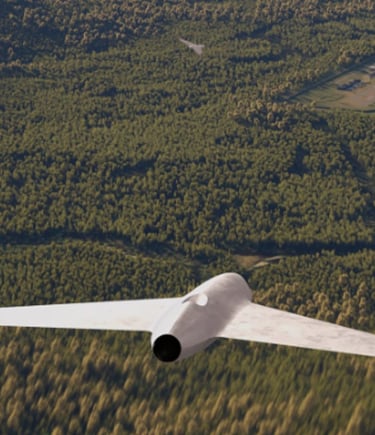
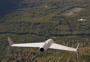
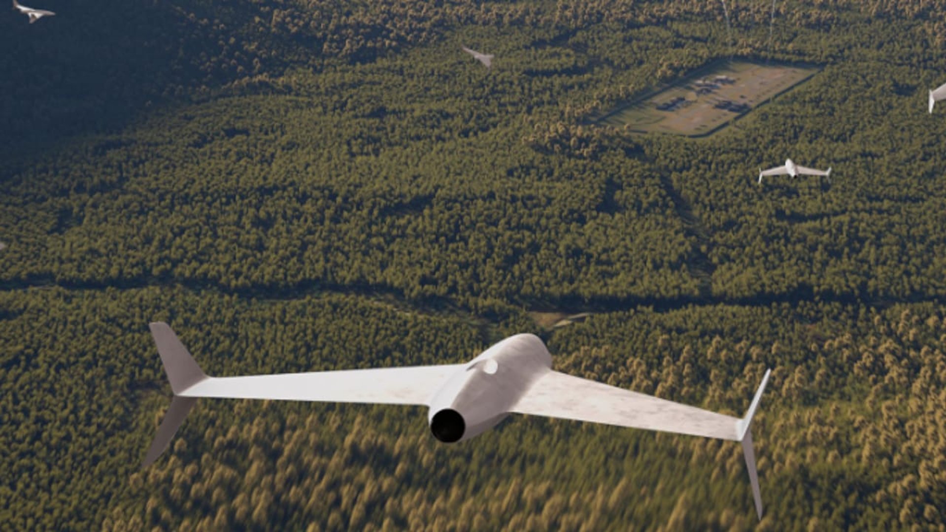
🚁 Drone Solutions
Design, deployment, aerial mapping, surveillance, and inspections.
Geospatial analysis, cartography, and data-driven decision support.
Protect your systems with advanced security testing and monitoring.
🗺️ GIS & Mapping
🔐 Cybersecurity
Professional repair and distribution of electronics and drone components.
Hands-on training in drones, GIS, and cybersecurity.
🔧 Tech Repairs & Sales
🎓 Training Programs
🌐 Smart Systems & AI
IoT, networking, server infrastructure, and AI-powered automation solutions.
Why Choose Us
Industry-trained drone and GIS professionals
Real-world operational experience
Integrated tech solutions (Drone + GIS + Cybersecurity)
Training backed by practical expertise
Reliable support and maintenance